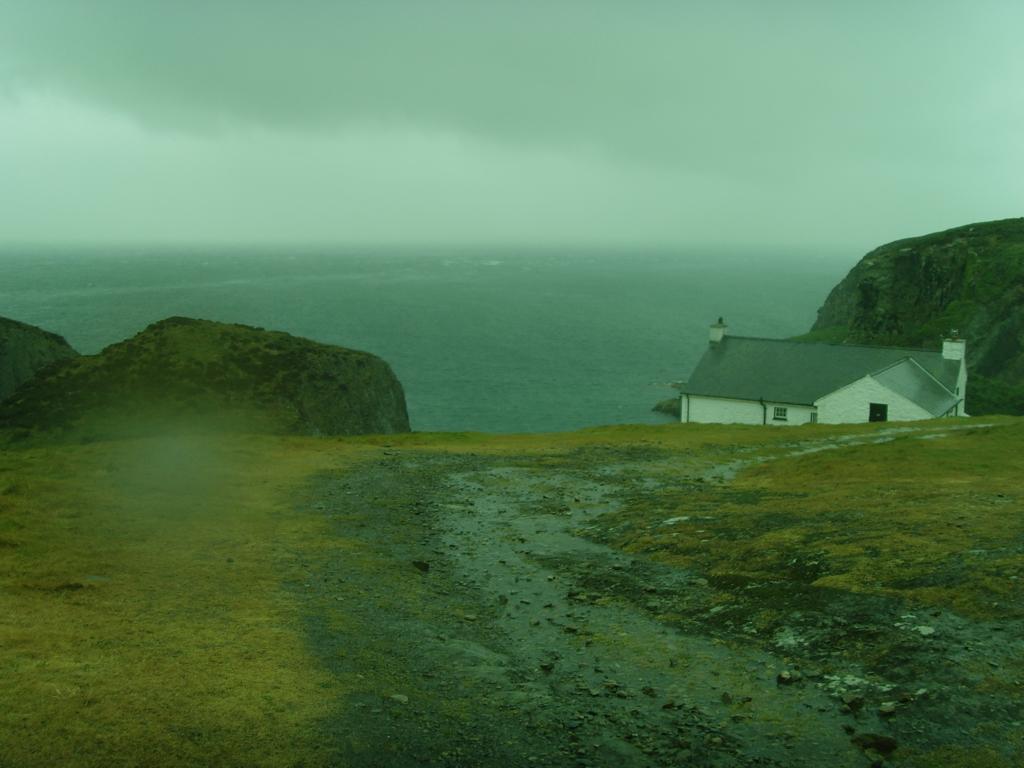
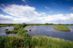
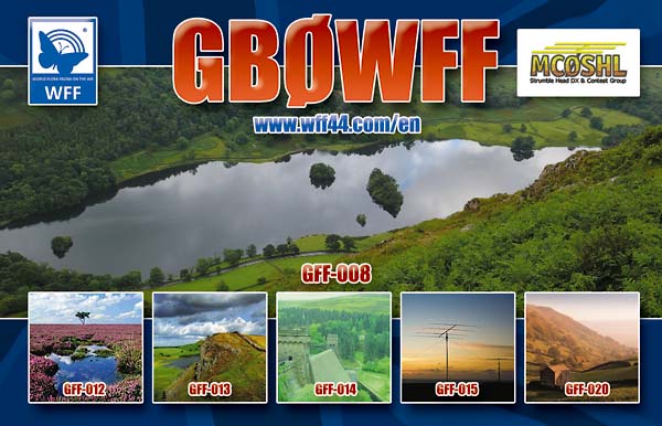
Ramsey Island
The Strumble Head team met at the Club House on Tuesday giving us time to test, prepare and pack the items needed for this year. As before, we always try to be more efficient and to take only the essential items to the island but also with consideration that we may have to stay longer than anticipated should the weather turn poor.
Sea and weather conditions were forecast to be very poor for the crossing on the Thursday morning but what a surprise to awake at 04:45 to see a beautiful morning on the Pembrokeshire Coast. The vehicles were loaded and we arrived at the Lifeboat Slipway around 07:30 where shortly afterwards the ‘Thousand Island Boat Charters’ arrived and we were on the Island by 08:00, amazing. (Click here for You Tube video of the boat crossing).
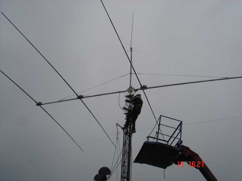
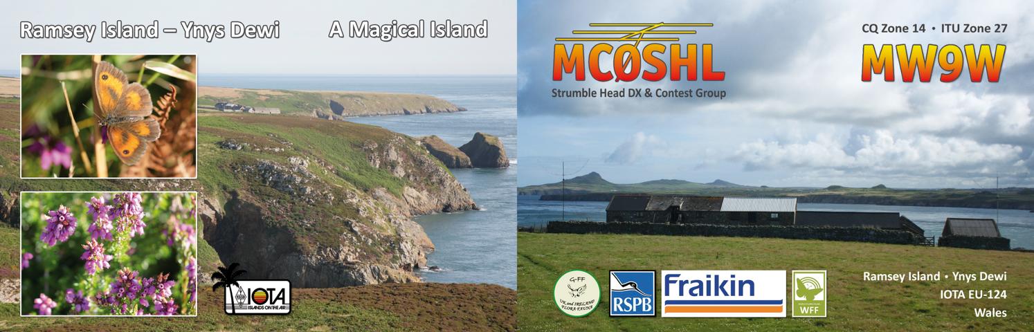
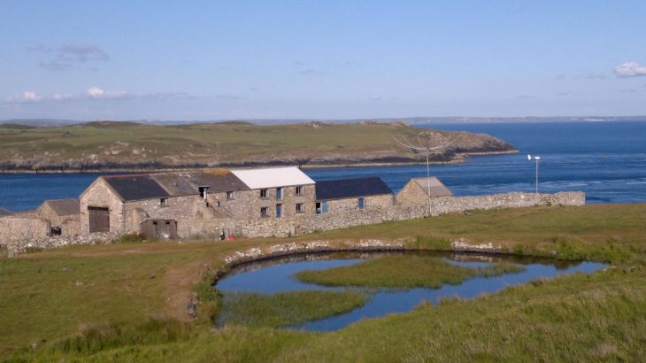
After heaving all the gear to the top of the ‘harbour’ we then had the massive climb to the top of the Island where we bunk in a Barn (complete with broody Chickens!). Carrying 2 x Acom 1000 Amplifiers, 2 x FT1000MPs and worst of all the Kenwood TL922 to the accommodation is always a huge challenge. Fortunately the RSPB Warden and his wife (Greg & Lisa) are very accommodating and helped us up the hill with the Quad and trailer for which we are always very grateful.
We got off to a good start and as always, no one sets their stations up until all antennas are fully up and we work together to achieve this. 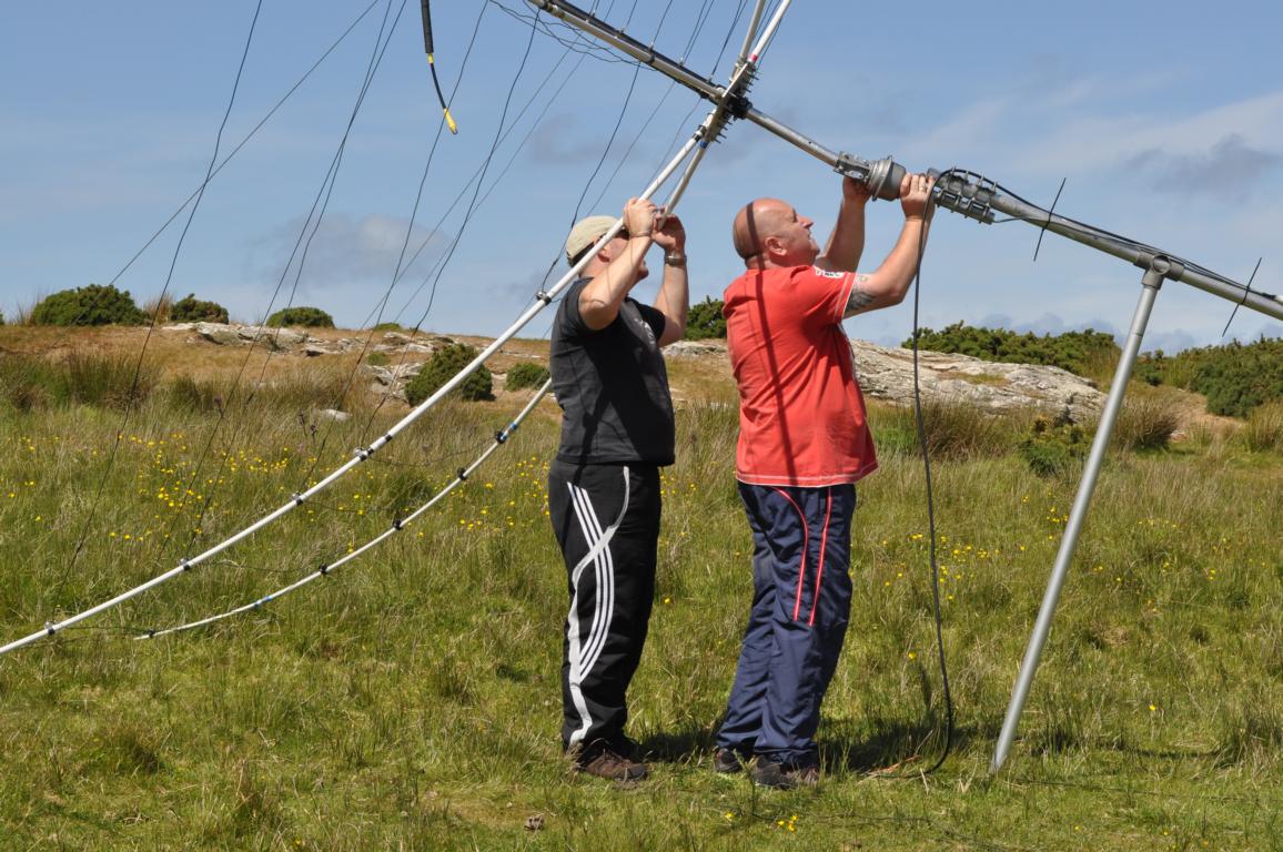 The 2 x G3TXQ Hexbeams (built by Ant MW0JZE) were the first up and then we worked on the Windom for 40 and 80M. Everything ran as a well oiled machine and shortly after lunch, all three antennas were up and we moved inside to set up the stations.
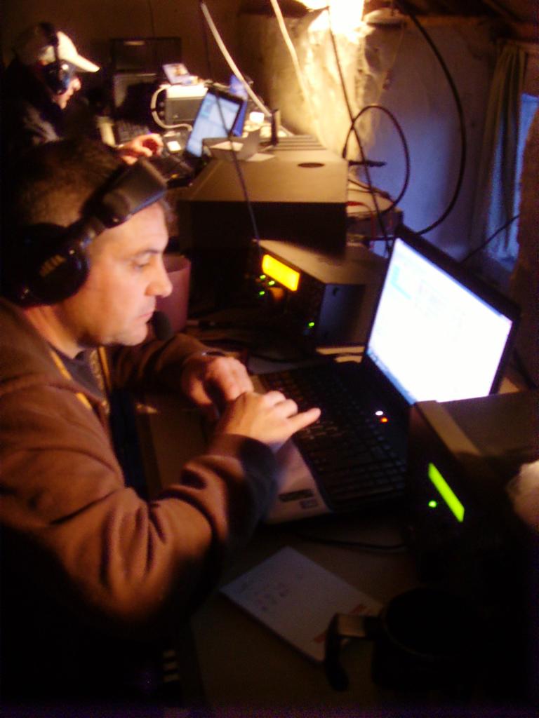
Around 15:30 local we had all three stations on air and were qrv from ‘IOTA EU-124 Ramsey Island’. Chris G1VDP started the Digi station on the Windom working 30M, Ant MW0JZE started up on 20 SSB and Tim M0URX worked 15m SSB. Pile ups were pretty fast, the World Flora Fauna reference helping to boost them as well 😉 .
Almost immediately the station used by Chris suffered a major problem when lights on the FT1000MP flashed and the dedicated PSU and TL922 also shutting down. 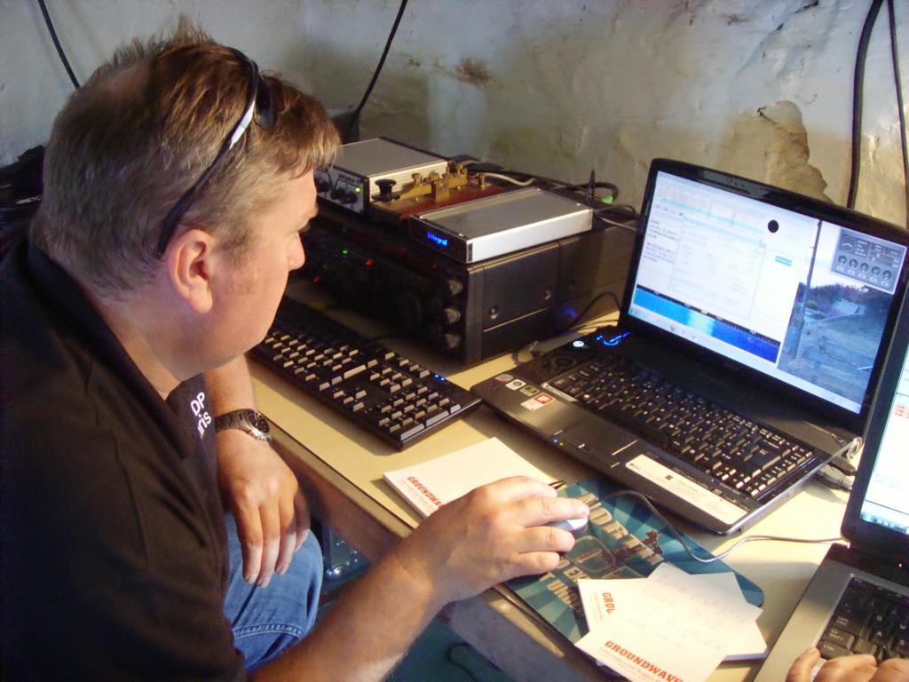 Then worse to come was that dreaded smell – something was on fire. A subsequent check showed a hole on a transistor within the PSU and sadly totally n-repairable for here at least. We were now down to two stations.
We worked very well and most stations had solid pile ups until late in the evening. Conditions weren’t brilliant and most of the traffic was from EU with Yuri A65CA from Asia and a few stations from North America. Tim had a good run into SA and also the Caribbean but again, conditions definitely down. We had over 1000 in the log and with the two stations we were happy at that.
The next morning we all woke early after a terrible storm kept most of us awake during the night and we got started. We worked early on 40M SSB and then 20M SSB using both Acoms and running 300/400 watts. Rob MW0RLJ and Charles M0OXO decided to take a boat to the mainland to take the faulty equipment back and to collect a spare rig to replace it. The guys continued to work well and on their return the qso count was 2500.
 It became very obvious that conditions were giving us some Sporadic E propagation so they started pushing the higher bands (17, 12, 10 & 6) to give the Island IOTA to as many that required it. We had an amazing time, many stations commenting on how pleased they were to get EU-124 onto the new bands and in particular many ‘G’s that needed it as a new DXCC Band slot. Ant had been slogging away on 6M for a long time with a huge pile up and handed the Mic to Charles to continue. 6M continued to be very good and in total we finished with well over 396 qso’s & 29 Countries on one run on 6m, the better one maybe CN in Morrocco? Before we left we set ourselves a target of 4000q’s for the whole trip and by midnight we closed on 4035 q’s, amazing and very pleased but that was to be short lived.
Charles got up the following morning (Day3) to find a problem. We had Voltage issues and it seemed the current was poor and not enough Ampage to run even the radio. We traced the problem to not just one but both our generators had gone down, who would believe that? 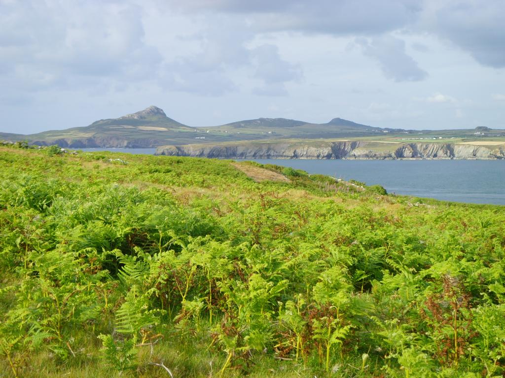 The black cloud descended over us and we spiralled into depression. We worked several theories for several hours and eventually decided to run the spare ‘Robin’ generator only and to run 100w only. We never gave up the fight and tried many theories were explored over a pot of Porridge (thanks Jane!) and we came up with a plan! Greg (RSPB Warden) kindly offered to allow us yet another Generator which could give us 6Kva so the mood lightened and again, we weighed up our options over a chat until 0930………
Time moved on and by 1130 we were on air again. Conditions were ok and by 1.00pm we were running well as we approached 1300 and the beginning of the World Flora Fauna’ GreenDay’ event, We used all bands from 40m thro 10m and as we were using 12 & 17m, we were not in a ‘contest’ but just an ‘event’! All continued OK with runs predominantly into EU but with the odd DX station thrown in the mix. When 1500 came the bands just died with barely a trace of anyone on 20 thro 10m. In a few hours this eased and we pushed on on 20m, 17 and 40M. 40M was running very well with Chris on the Mic running 100w from the FT890 but only 20 and 17 really had any decent propagation to EU. As the evening moved along we had another good run with many JA stations on 20M and a few down into OC with VK. We closed at 0030, filled the generator and after a few hours stargazing we slept………but not well!
 We were kept awake most of the night with the predicted ‘bad weather’. Sadly it was worse than expected. Torrential rain was hammering at the windows of the barn and roof and the wind was tremendous. First light at 0400 saw 2 x Hexbeams both leaning to the side and getting buffeted by the very strong wind. There was little we could do, they were unusable in that state so after a chat (again over a bowl of porridge) we decided they needed to be taken down to prevent damage. We all donned out wet weather gear and got stuck in. Taking them down took 15 minutes for each Hexbeam with us all working on the same antenna at the same time before moving on to the other. It initially appeared that the fault was either the rotators not being up to the strain of the wind or the strain on the stub mast and clamps were too weak. Another thought for another day but they were all down and we left the Windom in place.
 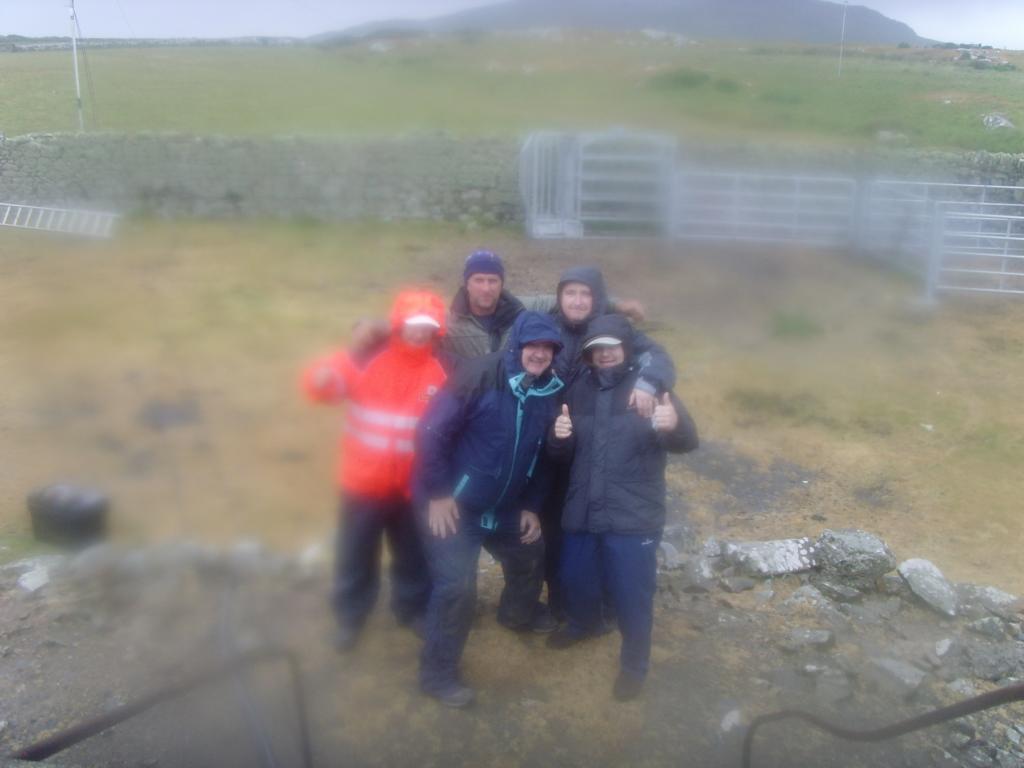 We spent the remainder of the morning inside the barn, we dismantled all the equipment and packed it away just leaving the Elekraft K3 and the Windom to use later in the afternoon with a view to making the few required qso’s which would give us 6000 contacts.
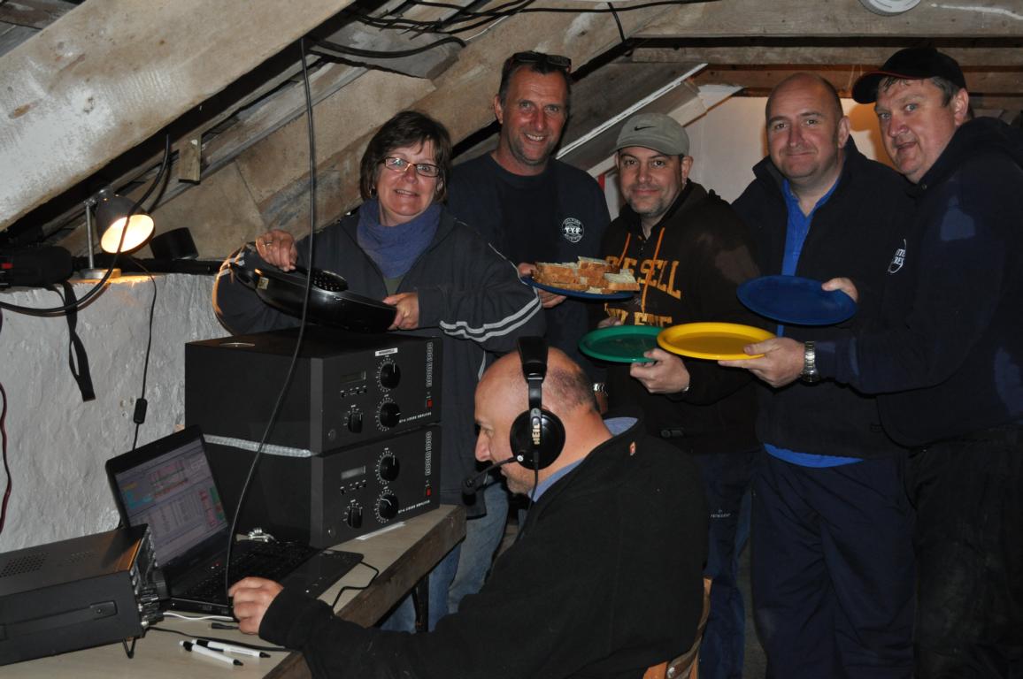
The afternoon was poor but we worked through trying our best but pretty soon we ran out of time. We had the now (now traditional) ‘Party’ looming with invited guests joining us for supper and a few drinks. By the time 7pm came we had 11 people for supper including Greg & Lisa, Nia,Mike & Nicola. We must not forget the now famous Border Collie ‘Dewi’, now a celebrity after his debut on the BBC’s ‘Countryfile’! After a lovely meal provided by Jane, we all had a few drinks (some more than others!) and spirits 😉 were high. Some of us were in a bit of a tacking by 0030, and with an empty bottle of Famous Grouse, one of Romiel and several bottles of red wine, we turned in for the night. At that point it seemed extremely unlikely that we would wake in 6 hours feeling well but Charles did and fired up the generator for a quick blast. Another 60 stations were logged on 40m which brought us to a final total of 6024 q’s and the end of the 2011 trip. 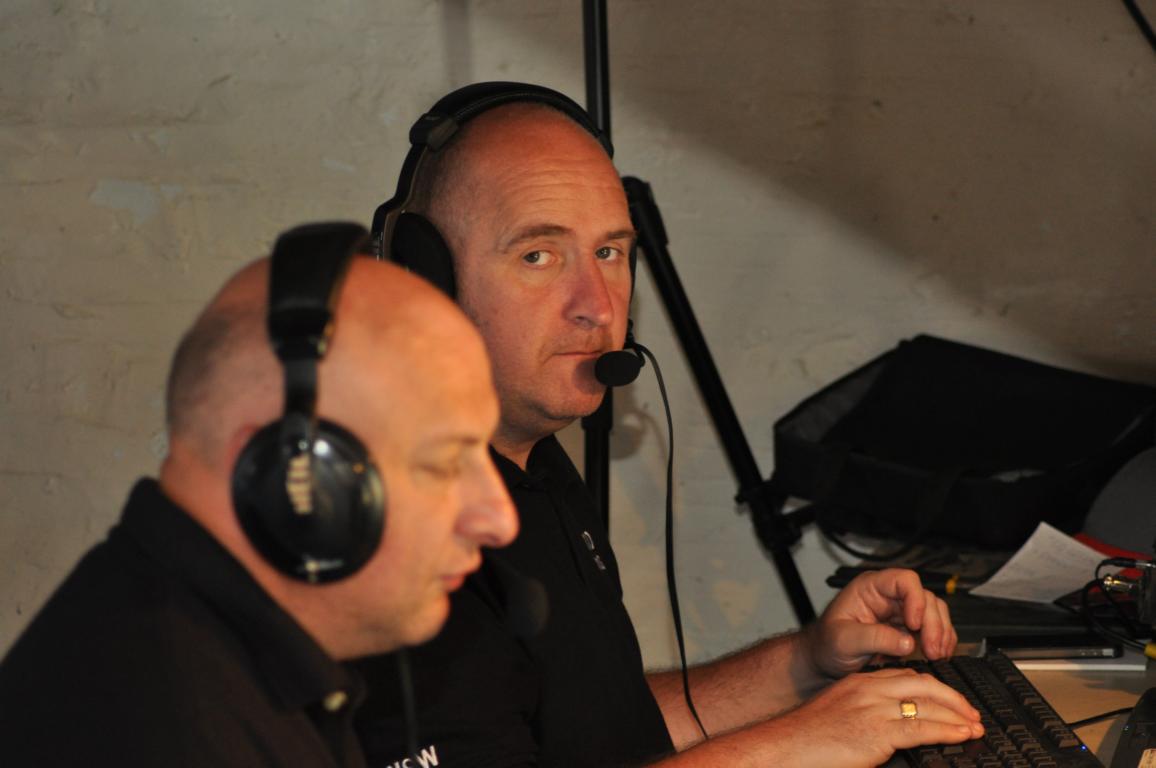 We got the gear down to the slip and from that point it took us 50 minutes to load the boat, do the crossing, unload at the Lifeboat Slip, carry the gear up to St. Justinians and to load the Van for the trip back to the farm.
CLICK HERE to take a You Tube tour around Ramsey Island
(Stats of this years trip can be found if you scroll down below this entry)
It just leaves me with a few thoughts and thanks for the help we received this Year. Greg & Lisa Morgan (RSPB Wardens) were once again invaluable in help, planning, advice and in allowing us on the Island, two people who’s performance, committment and drive is outstanding and a major asset to the RSPB. ‘Thousand Island Expeditions’ once more gave their personal service to us and were extremely kind, a service recommended by us. Mike Chant and his crew aboard the ‘Gower Ranger’ also pulled out the stops with their prompt and personal service. Good luck to Nia Stephens (Assistant RSPB Warden) in her future career and not forgetting Mike and Nicola who give their time as RSPB volunteers. Finally a big thanks to all of you that worked us whilst on Ramsey Island. We were very pleased to give so many of you the new Band Slots, IOTA and WFF areas. I guess almost all stations on 6 meters would have been very pleased to get IO71hu in their logs so a good job all round. Some stations worked us on 7 band slots and many more with 6 contacts which was remarkable. Of course we wouldn’t be without the odd negative comments either. Some made good points and others were well, just pathetic but all in all, a great trip to Ramsey in 2011.
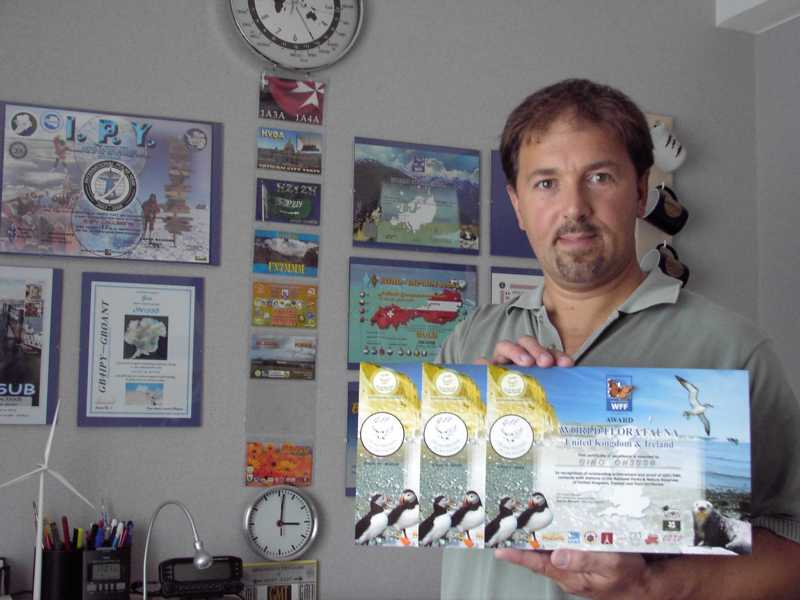
Thanks to everyone from the Strumblehead DX Group; Rob MW0RLJ, Charles M0OXO, Tim M0URX, Chris G1VDP, Ant MW0JZE and of course Jane (our Support Staff 😉 ) who kept us fed with over 120 meals, doing this with 2 small gas rings on a Baby Belling stove and little facilities was a great & welcomed achievement!
Photos of the 2011 trip to be added to Gallery in next few days
**One thing we did learn was that ”two Acoms are better than one”….(well to fry breakfast on at least!!!)
STATS for this event………………..
QSO’s per Band
6m – 396
10m – 534
12m – 322
15m – 540
17m -1058
20m – 2441
30m – 1
40m – 749
TOTAL 6040 Qso’s
DXCC’s per Band
6m – 29
10m – 38
12m – 39
15m – 46
17m – 64
20m – 87
30m – 1
40m – 48
TOTAL 100 DXCC
MC0SHL Run ‘Rates’
2011-06-09 1419 – 1438Z, 14260 kHz, 49 Qs, 155.4/hr MC0SHL
2011-06-09 1507 – 1511Z, 14260 kHz, 11 Qs, 163.6/hr MC0SHL
2011-06-09 1550 – 1553Z, 14260 kHz, 11 Qs, 173.7/hr MC0SHL
2011-06-09 1843 – 1901Z, 14260 kHz, 31 Qs, 101.2/hr MC0SHL
2011-06-09 2146 – 2159Z, 14260 kHz, 14 Qs, 60.4/hr MC0SHL
2011-06-09 2218 – 0516Z, 14260 kHz, 99 Qs, 14.2/hr MC0SHL
2011-06-10 0527 – 0602Z, 14260 kHz, 33 Qs, 56.8/hr MC0SHL
2011-06-10 0621 – 0627Z, 14260 kHz, 11 Qs, 109.4/hr MC0SHL
2011-06-10 0631 – 0756Z, 14260 kHz, 160 Qs, 114.0/hr MC0SHL
2011-06-10 0815 – 0819Z, 18144 kHz, 13 Qs, 167.7/hr MC0SHL
2011-06-10 0949 – 0953Z, 18144 kHz, 14 Qs, 201.6/hr MC0SHL
2011-06-10 1013 – 1042Z, 24944 kHz, 59 Qs, 122.3/hr MC0SHL
2011-06-10 1108 – 1111Z, 28520 kHz, 13 Qs, 201.7/hr MC0SHL
2011-06-10 1123 – 1128Z, 28520 kHz, 16 Qs, 177.8/hr MC0SHL
2011-06-10 1305 – 1317Z, 50132 kHz, 24 Qs, 121.5/hr MC0SHL
2011-06-10 1328 – 1335Z, 21244 kHz, 17 Qs, 147.8/hr MC0SHL
2011-06-10 1338 – 1344Z, 18155 kHz, 13 Qs, 146.7/hr MC0SHL
2011-06-10 1435 – 1501Z, 14260 kHz, 51 Qs, 121.1/hr MC0SHL
2011-06-10 1518 – 1547Z, 14260 kHz, 67 Qs, 137.7/hr MC0SHL
2011-06-10 1642 – 1652Z, 21270 kHz, 22 Qs, 128.2/hr MC0SHL
2011-06-10 1719 – 1723Z, 24944 kHz, 11 Qs, 176.0/hr MC0SHL
2011-06-10 1741 – 1750Z, 24950 kHz, 12 Qs, 87.6/hr MC0SHL
2011-06-10 1756 – 1801Z, 50131 kHz, 15 Qs, 173.6/hr MC0SHL
2011-06-10 1859 – 1904Z, 50131 kHz, 14 Qs, 175.0/hr MC0SHL
2011-06-10 2040 – 2045Z, 14260 kHz, 11 Qs, 127.3/hr MC0SHL
2011-06-10 2143 – 2150Z, 7144 kHz, 13 Qs, 113.3/hr MC0SHL
2011-06-10 2222 – 2303Z, 14247 kHz, 40 Qs, 58.0/hr MC0SHL
2011-06-11 1017 – 1030Z, 28448 kHz, 27 Qs, 117.0/hr MC0SHL
2011-06-11 1131 – 1135Z, 18148 kHz, 11 Qs, 160.3/hr MC0SHL
2011-06-11 1415 – 1437Z, 7176 kHz, 16 Qs, 44.0/hr MC0SHL
2011-06-11 1711 – 1717Z, 14287 kHz, 16 Qs, 153.6/hr MC0SHL
2011-06-11 1718 – 1723Z, 14287 kHz, 11 Qs, 138.0/hr MC0SHL
2011-06-11 1814 – 1822Z, 14287 kHz, 11 Qs, 86.3/hr MC0SHL
2011-06-11 2033 – 2046Z, 18151 kHz, 11 Qs, 52.0/hr MC0SHL
2011-06-11 2101 – 2136Z, 7178 kHz, 47 Qs, 80.2/hr MC0SHL
2011-06-12 1438 – 1447Z, 14248 kHz, 17 Qs, 123.1/hr MC0SHL
2011-06-12 1503 – 1551Z, 7185 kHz, 50 Qs, 63.0/hr MC0SHL
2011-06-12 1606 – 1651Z, 7148 kHz, 49 Qs, 66.0/hr MC0SHL
2011-06-12 1709 – 1732Z, 7144 kHz, 23 Qs, 60.6/hr MC0SHL
2011-06-12 1753 – 1812Z, 14240 kHz, 34 Qs, 104.8/hr MC0SHL
2011-06-13 0552Z – 06:20, 7175 kHz, 33 Qs, 71.0/hr

 advice and help that you may or may not find helpful.
 Again, as several other sites, Bolton Ings is recently aquired and is a beatiful spot tucked away down in the Dearne Valley of South Yorkshire, Northern England.
 as they compete to establish territories and attract a mate. In summer, look out for young birds making their first venture into the outside world. Autumn brings large movements of migrating birds – some heading south to a warmer climate, others seeking refuge in the UK from the cold Arctic winter. In winter, look out for large flocks of birds gathering to feed, or flying at dusk to form large roosts to keep warm.
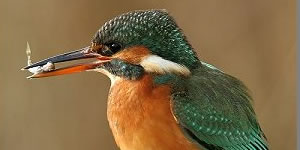 spring, the sedge warbler is easy to see because it ‘pirouettes’ up into the air from the tops of the bushes, singing its scratchy song as it goes. In spring, watch the display flights of redshanks over the wetlands. Also look out for the adults walking through the water, showing off their long, red legs. The warm days of summer bring dragonflies out and about, with banded demoiselles a particular highlight. These iridescent green and black damselflies flutter over the surface of the water. The reedbed warblers will be feeding chicks and kingfishers whizz to and fro carrying fish for their young. Broods of ducklings can be seen feeding with their mothers.
 stop their ‘mobbing’ attacks until the danger has passed.

 Nature Reserve for the RSPB and another great place to come and see the Wildlife whilst combining it together with the hobby of Amater Radio. The skies, fields and open water areas are teeming with birds throughout the Year.
 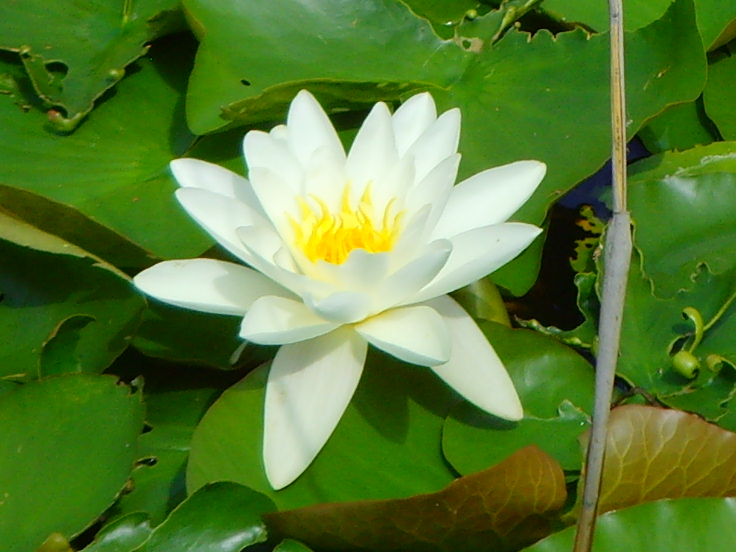 programme of events, there is something for everyone to enjoy including children on school trips and groups or individuals wanting a more one on one guided tour.
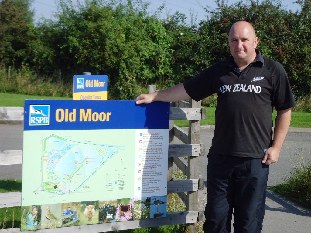 as well as the new additions to the families of the wildfoul and other Birds. dragonflies were also in abundance even if they were difficult to catch on camera! Old Moor is very important in the Winter time as it is a regular stop to over 8000 Golden Plovers. Current sightings of a Bittern on the reserve was great news too!
 decline to an amazing 93% between the 70’s and present times and at that time there were only 4 pairs breeding on the site. Today however there are approx. 50 breeding pairs and individually over 400, another good result for Old Moor.
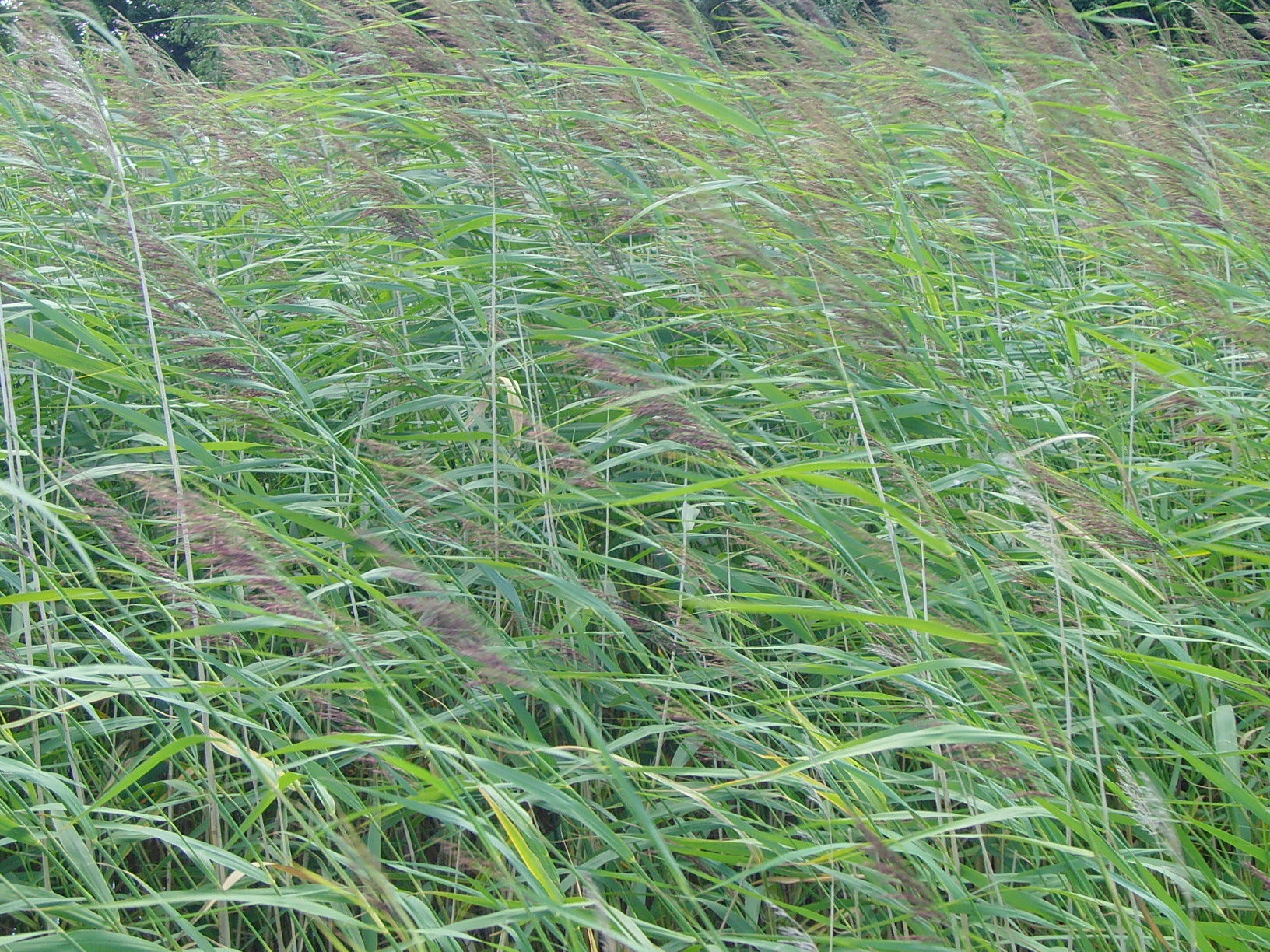 volunteering on the site for some time and this has enabled the RSPB at Old Mill to begin a fruitful partnership with Mencap nearby in the city of Leeds. They have also included an ”insect hotel”, made out of salvaged bricks, pallets, and old roof tiles amongst other things!
 Throughout the next 90 minutes I managed to work 16 JA (Japan), 3 DU (Philippines), Luis in HI9 and several others stations in Asiatic Russia. (See log extract below).
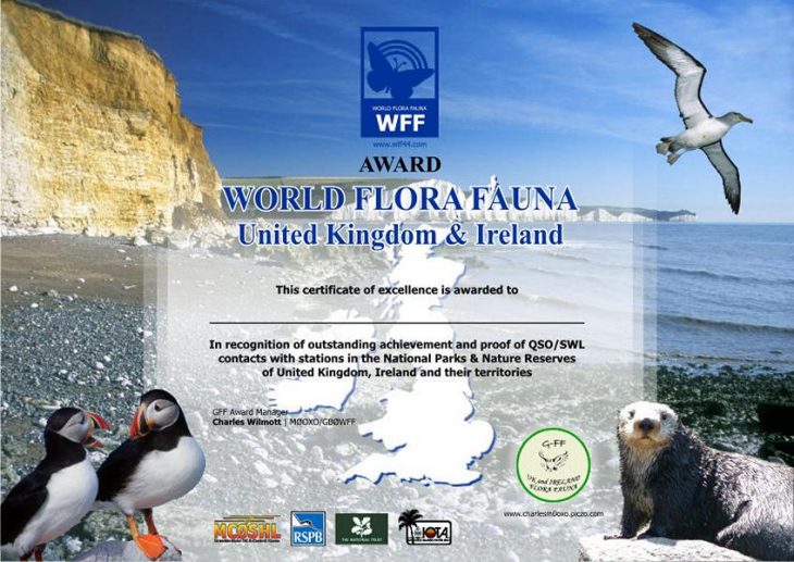


 Aethelwold took up residence instead. Among other acts,
 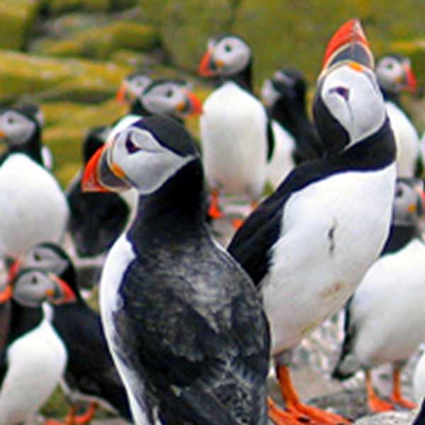 Saint Cuthbert introduced special laws in 676 protecting the Eider ducks, and other seabirds nesting on the islands; these are thought to be the earliest bird protection laws anywhere in the world.
 The Rabbit and Puffin populations use the same burrows at different times, the Puffins being strong enough (with a vicious bite)
 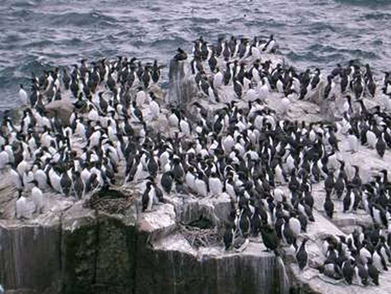 to evict the Rabbits from the burrows during the nesting season. The islands also hold a notable colony of about 6,000 Grey Seals, with several hundred pups born every year in September-November. A total of 290 bird species have been recorded on the Farnes, including in about 1760, an example of the now extinct Great Auk. (Photo above – Ian M0BFO working 20M SSB station on Inner Farne).
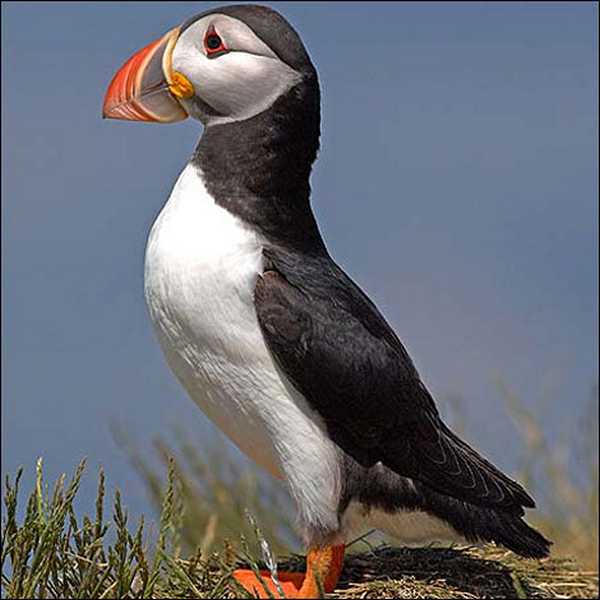 age, the Farnes were left as islands. Because of the way the rock is fissured, Dolerite forms strong columns. This gives the islands their steep, in places vertical cliffs, and the sea around the islands is scattered with stacks up to 20 metres (66 feet) in height. Many of the small islands are bare rock, but the larger islands have a layer of clay subsoil and peat soil supporting vegetation.
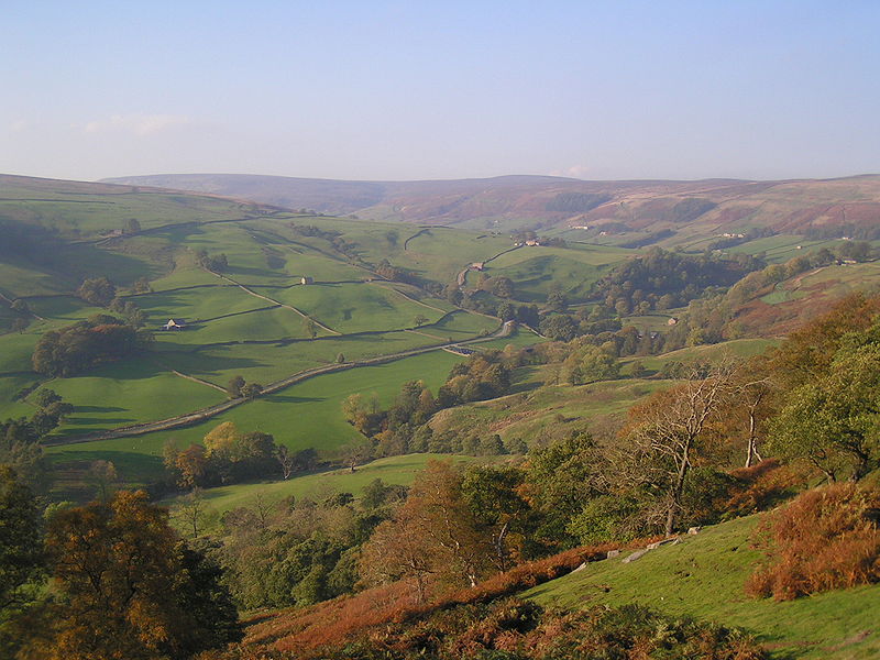 The dales themselves are ‘U’ and ‘V’ shaped valleys, which were enlarged and shaped by glaciers, mainly in the most recent, Devensian ice age. The underlying rock is principally Carboniferous limestone (which results in a number of areas of limestone pavement) in places interspersed with shale and sandstone and topped with millstone grit. However, to the north of the Dent fault, the hills are principally older Silurian and Ordovician rocks, which make up the Howgill Fells
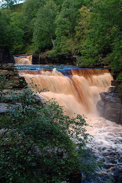
 From a gentle stroll or relaxing picnic to a long-distance walk or heart-pumping adventure, the countryside provides every opportunity for enjoyment and relaxation.
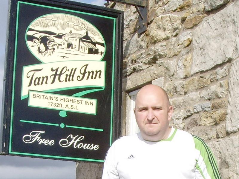 and you’ll help to protect the countryside now and for future generations.
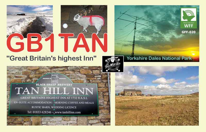
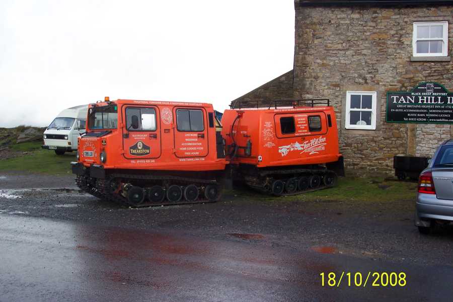 The Inn is the ‘Highest Pub in Great Britain’ and being 1732ft ASL it has a great take off for Amateur Radio for sure. But don’t be lead into a false sense of security as the Snow Mobile parked outside the pub is there for a reason! (see inset). Although it wasn’t snowing, it was lashing it down with rain and setting the Cushcraft A4S up was literally a real dampener on our spirits to say the least. Nevertheless we cracked on and were qrv by late tea time on the Friday and for the next 36 hours. Well, some of us were qrv, the other ‘die hard Amateurs’ found that the 10 second walk into the pub itself to sample the goods on offer
 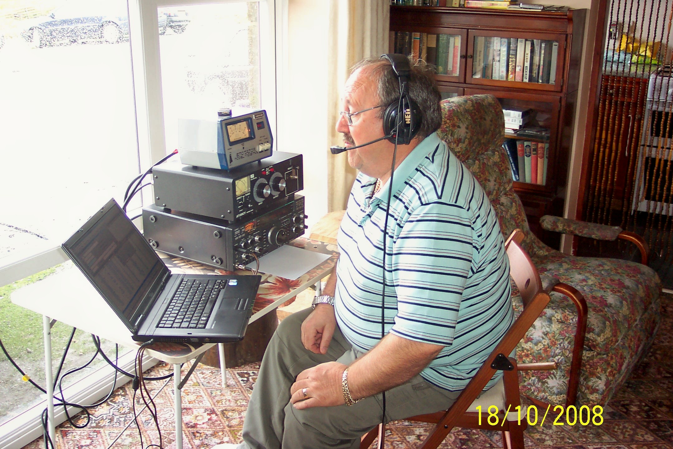 were more of a temptation than they could handle, ‘Theakstones Real Ale’ not being the only thing on offer for some!
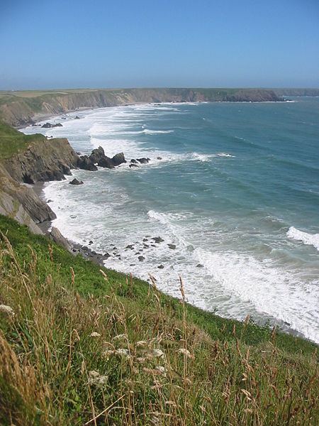
 sections. Running clockwise around the coast, these are the south Pembrokeshire coast, including
 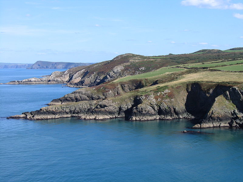 Pen Beri and Garn Fawr, together with the extensive moorland on Mynydd Carningli and Mynydd Preseli, give an exposed

 Proximity to the major cities of Manchester and Sheffield and the counties of Yorkshire, Lancashire, Greater Manchester, Cheshire and Staffordshire coupled with easy access by road and rail, have all contributed to its popularity. With an estimated 22 million visitors per year, the Peak District is thought to be the second most-visited national park in the world (after the Mount Fuji National Park in Japan).
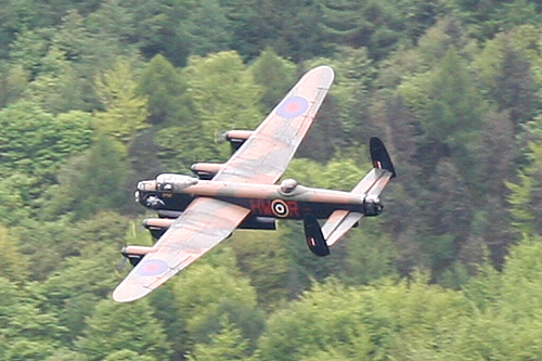 Howden Dam is of solid masonry construction, and 117 ft (36 m) tall, 1080 ft long. and impounds 1.9 million gallons of water, from a catchment area of 5,155 acres (20.86 km2). During the Second World War the reservoir was used by pilots of the 617 Squadron for practising the low-level flights needed for Operation Chastise (commonly known as the “Dam Busters” raids), due to its similarity to the German dams. Occasional flypasts of the Battle of Britain Memorial Flight are staged to commemorate this (As shown in Photo).
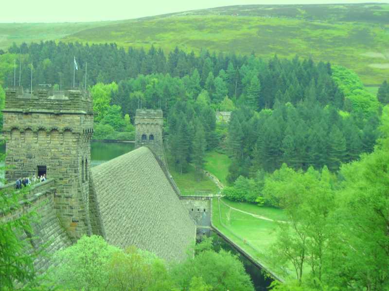 The National Park covers 555 square miles (1,440 km2) of Derbyshire, Staffordshire, Cheshire, Greater Manchester and South and West Yorkshire, including the majority of the area commonly referred to as the Peak. Its northern limits lie along the A62 road between Marsden and Meltham, north west of Oldham, while its southern most point is on the A52 road on the outskirts of Ashbourne in Derbyshire. The Park boundaries were drawn to exclude large built-up areas and industrial sites from the park; in particular, the town of Buxton and the adjacent quarries are located at the end of the Peak Dale corridor, surrounded on three sides by the Park.
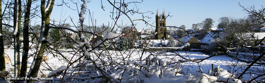 designation “National Park” means that there are planning restrictions to protect the area from inappropriate development and a Park Authority to look after it, but does not imply that the land is owned by the government, nor that it is uninhabited. Many of the rivers of the region are unpolluted and low enough in sediment levels to provide a home for the native white clawed crayfish. Ancient woodlands like these have much more wildlife value than plantations or other new woodland. Rocks and scree slopes (formed by the effect of frost on the cliffs above) have developed specialised flora with mosses, lichens and flowers such as herb robert. If movement stops, eventually screes become flower rich grasslands, or woodland, with a great variety
  of attractive flowers. The flowers encourage a range of insects including butterflies and moths. Grasslands have been
  satisfies the needs of the red grouse and is created by controlled burning of the countryside. The red grouse is easily startled and its whirring chuckling flight also startles walkers usually when its not expected!